Dublin Core
Title
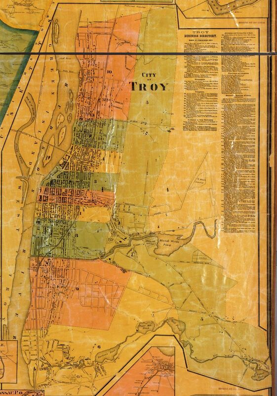
The Troy section of the "Map of Rensselaer County, New York" printed in 1861.
Subject
Troy
Rensselaer County
New York
Description
The bottom right corner of the 1861 "Map of Rensselaer County, New York. It is a large wall map that includes a depiction of the entire county in the center, and detailed street maps of larger prominent cities in the periphery. It also has scales, and includes a few images of important buildings.
Creator
Lake, D.L.
Beers, S.N
Source
Library of Congress
Publisher
Smith, Gallup & Co. Publishers
Philadelphia
Date
1861
Contributor
Brian Valimont
Rights
Library of Congress
Format
printed canvas
Language
English
Type
still image
Coverage
1861
